Snæfellsnes
14 August 2023 · Iceland
This post is about my trips to the Snæfellsnes peninsula in the days between my arrival in Iceland to experience the eruption, and the re-opening of the eruption site to visitors.
As mentioned in my earlier post, this one covers the days after I arrived in Iceland, whilst the eruption site was closed. I spent those three days on the Snæfellsnes peninsula, home of the Snæfellsjökull national park.
On the Saturday morning, I awoke to a cloudy morning and a poor weather forecast, but decided to make the drive anyway, and I’m glad I did as I encountered some wonderful light.
My first stop was at Gerðuberg cliffs. The cliffs themselves are somewhat underwhelming and I didn’t get out of the car until, driving down the gravel track back to the main road, I spotted a rusting old barn, typical of many found around Iceland but easily accessible for photography.
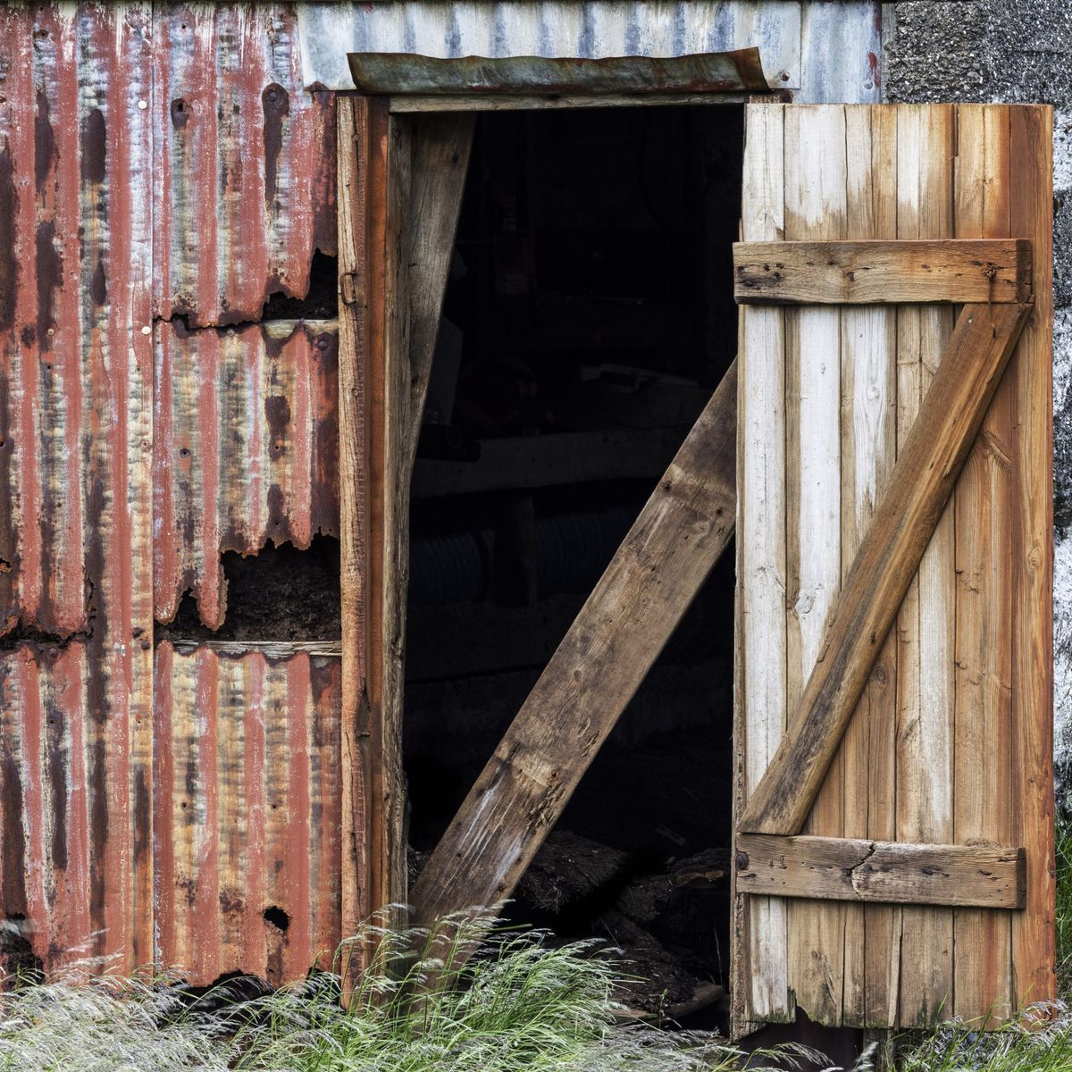
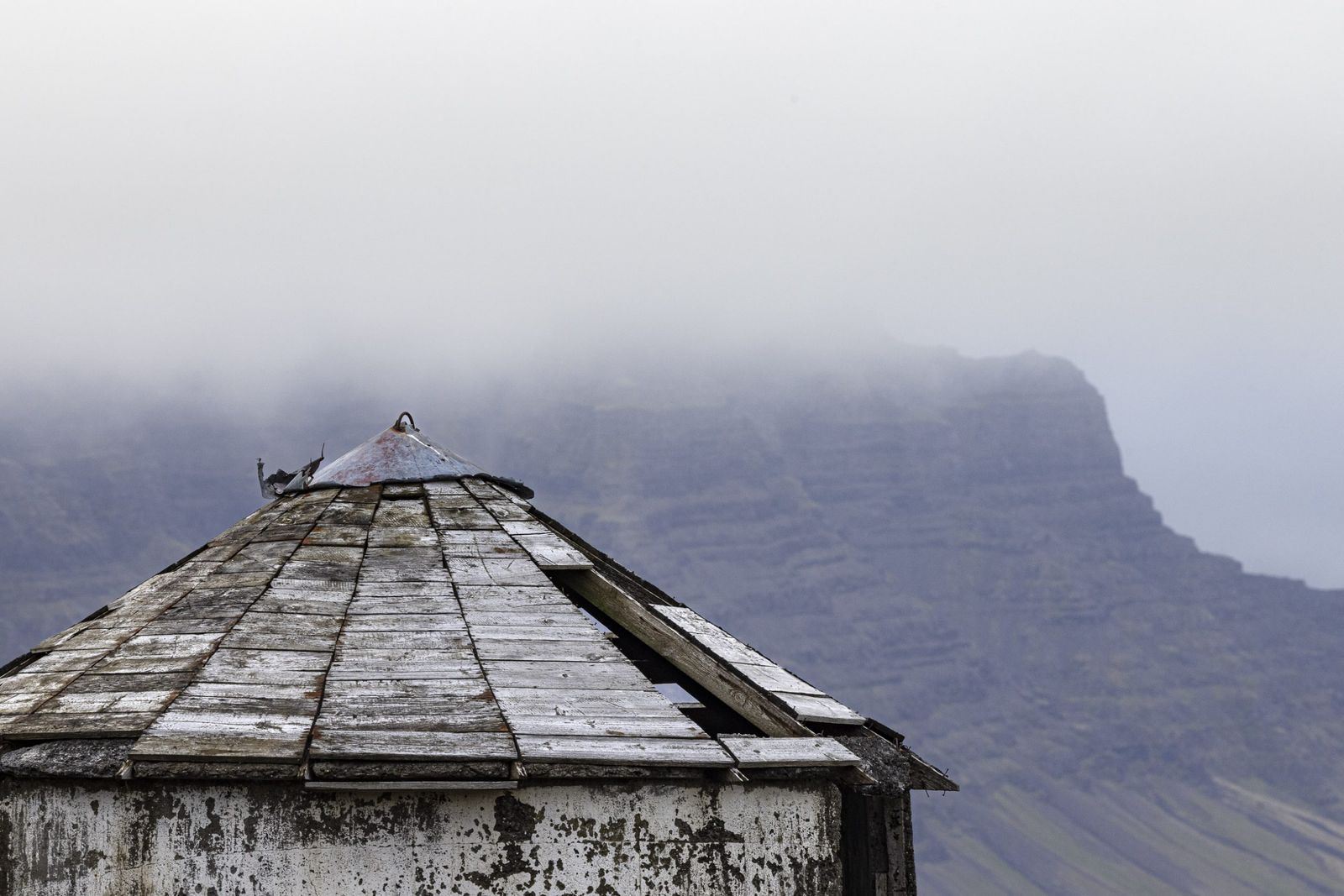
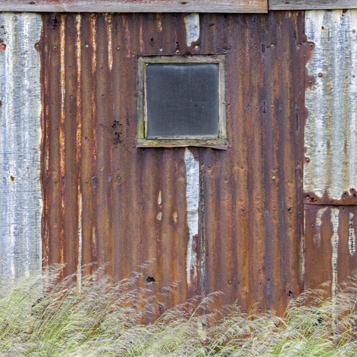
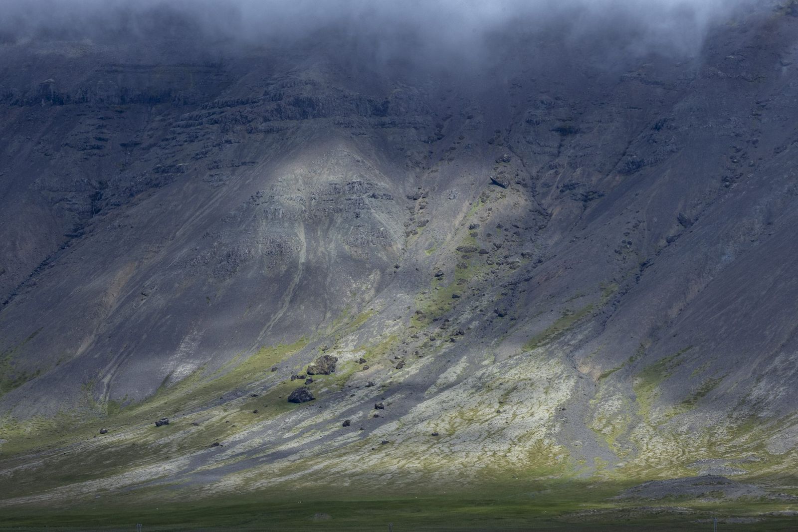
As I drove along the main road, the sun started to break through the cloud, illuminating the hills lining the route. It is illegal in Iceland to pull over beside the road, and also to drive off road, so one has to wait for a minor gravel road or driveway to stop. This can be frustrating in fast-changing light conditions with possible shots appearing and disappearing in moments. Despite these challenges, I was pleased with some of the images that I managed to make.
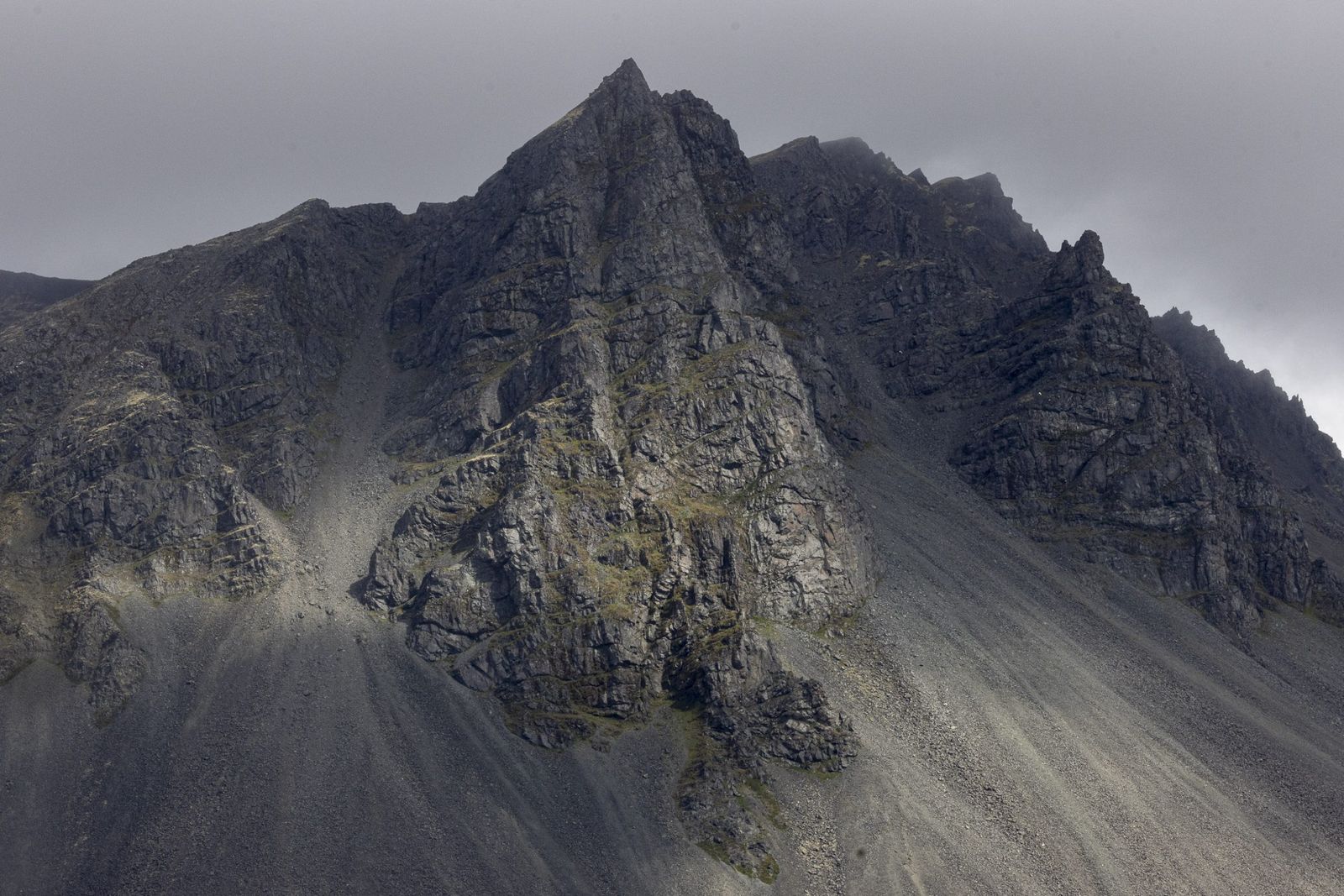
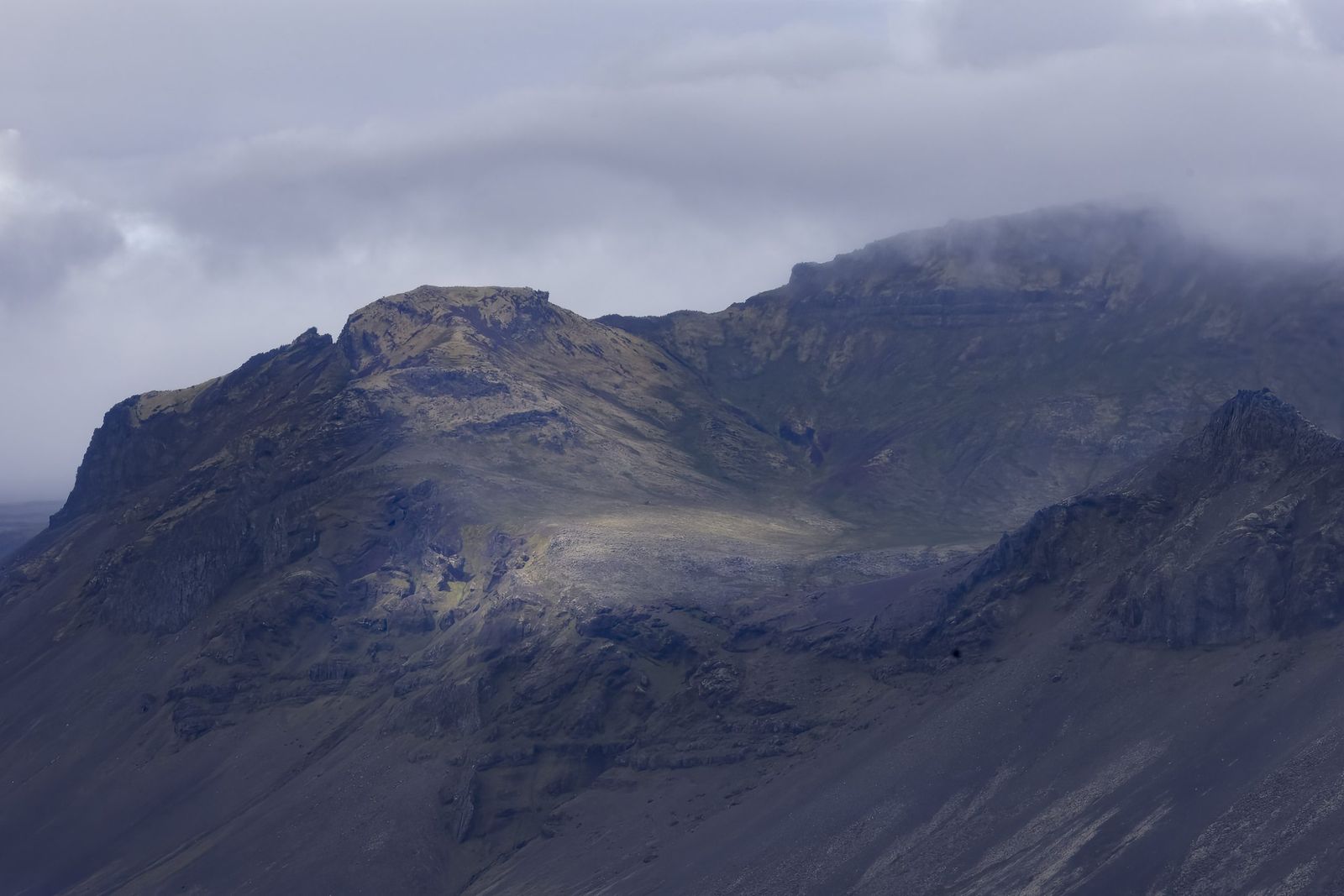
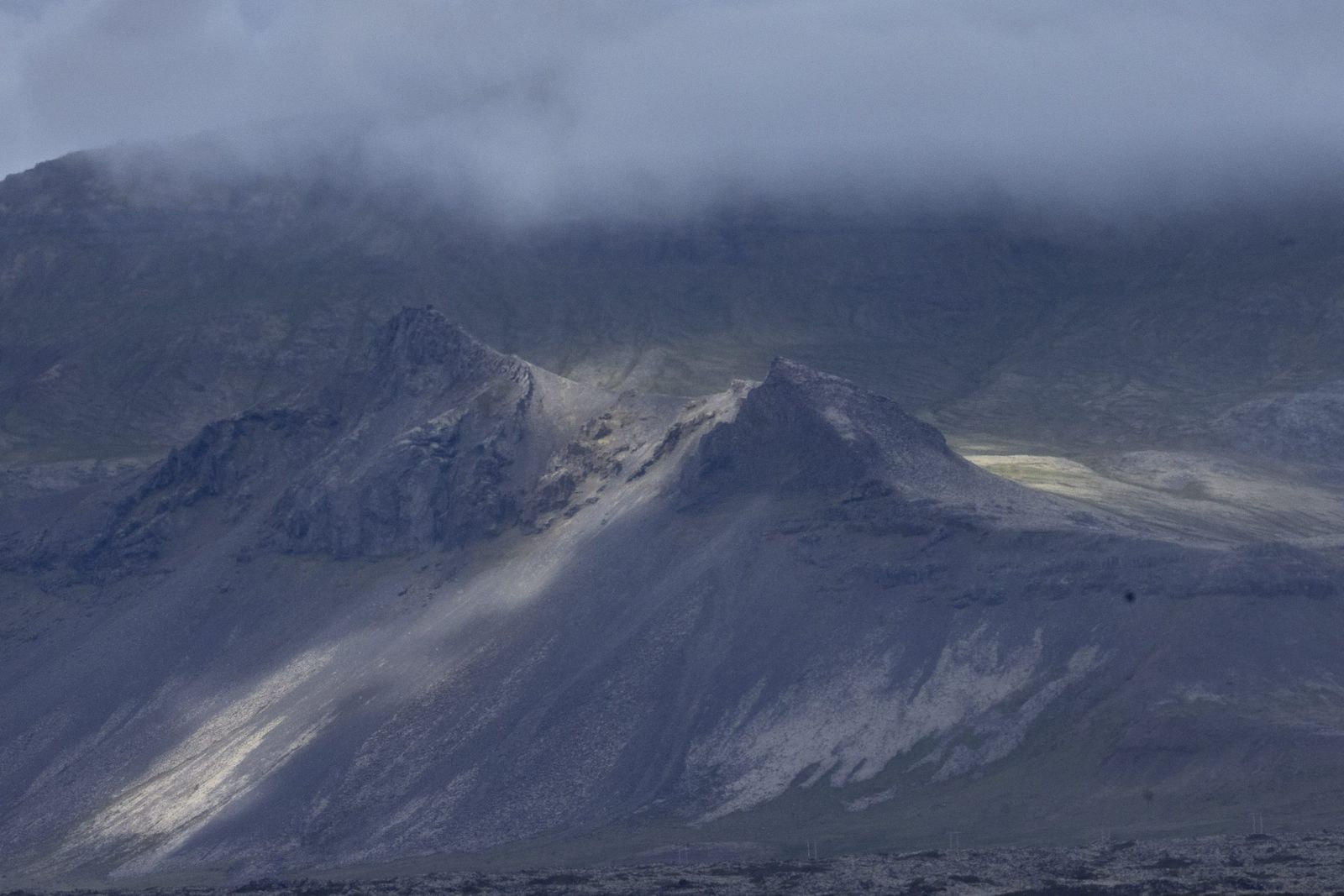
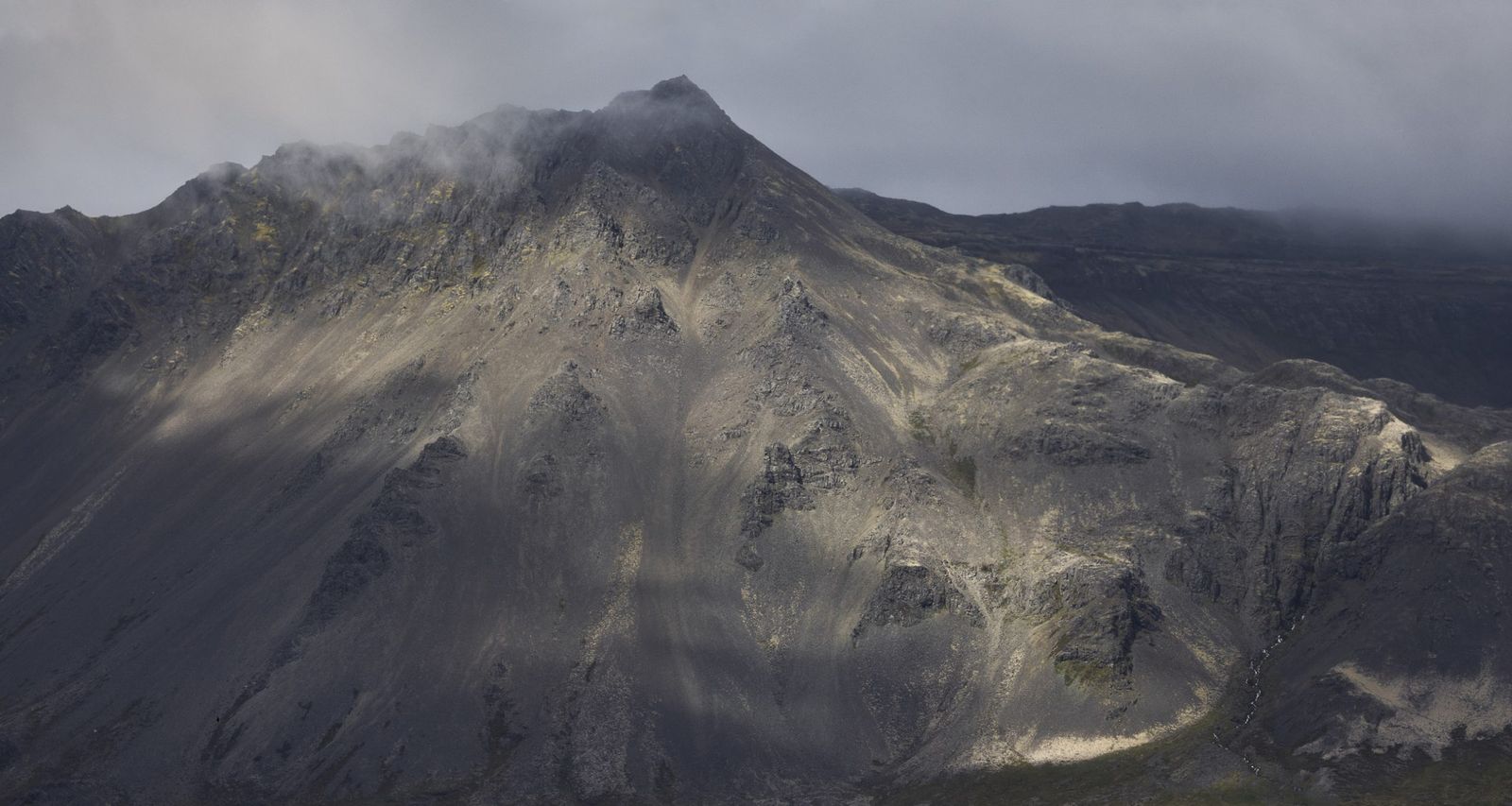
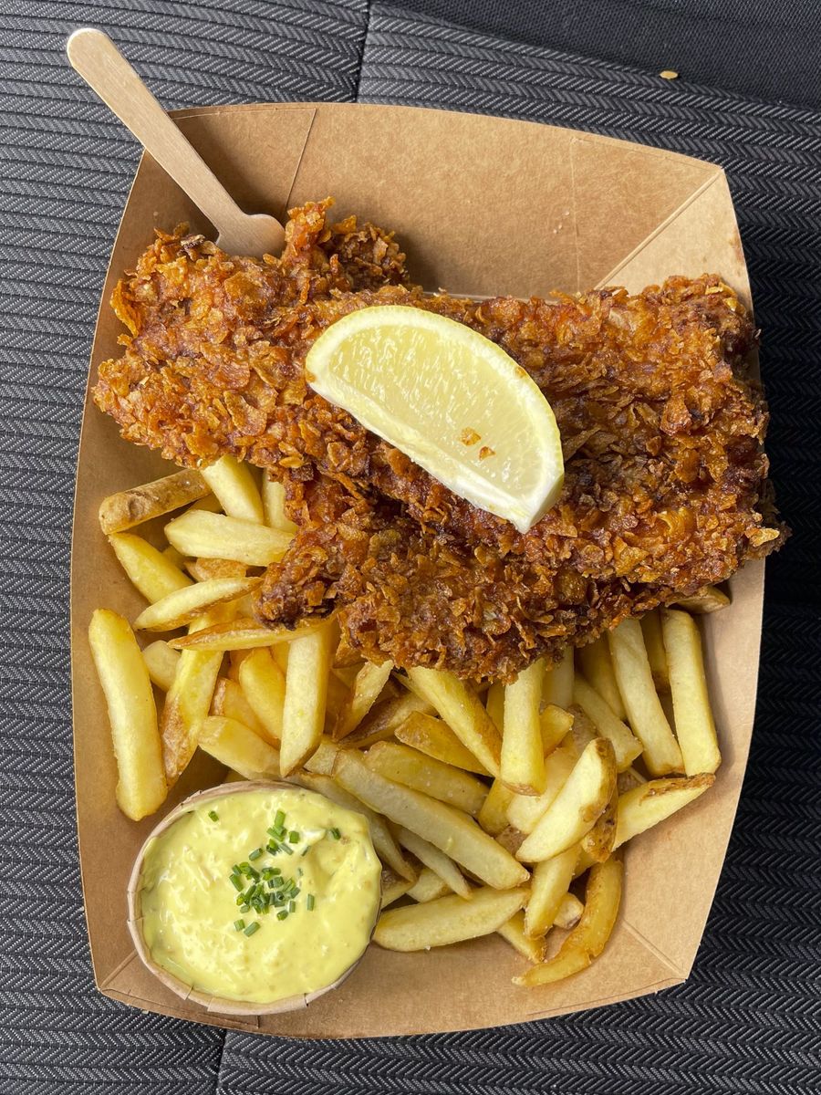
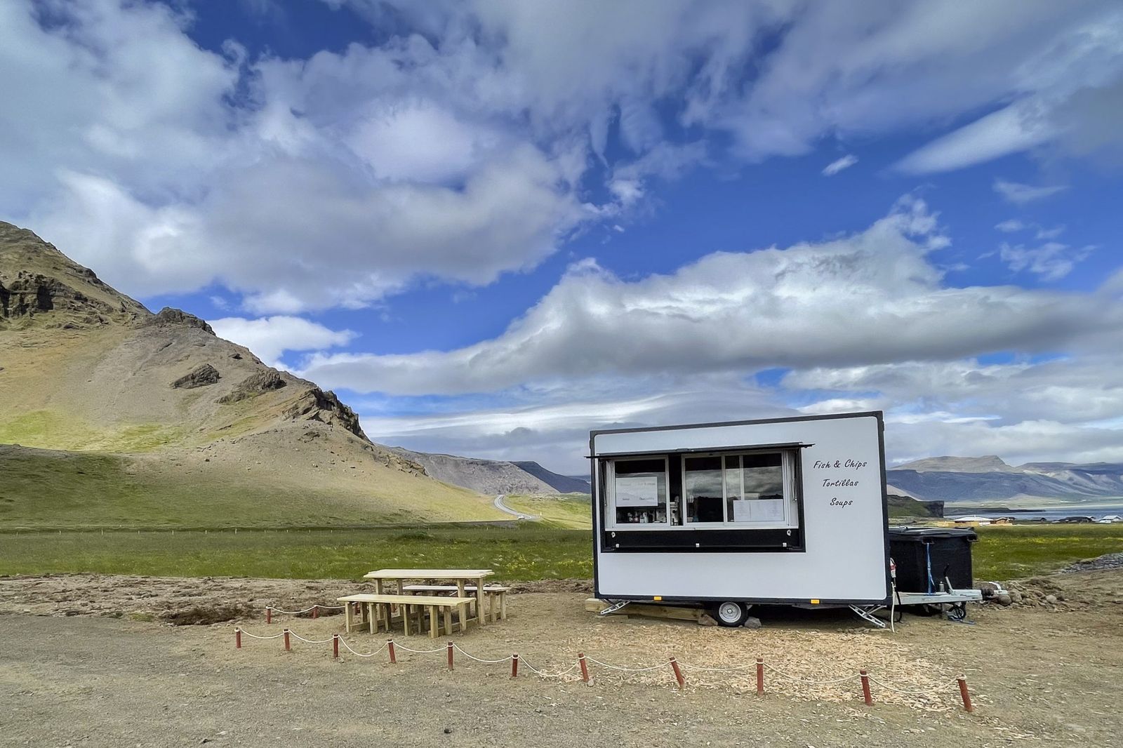
After my many stops, I eventually arrived in Arnarstapi, a busy fishing village, I imagine because it’s the first place one comes to when travelling clockwise around the peninsula. After a quick look at the harbour, with its crowds of people, I headed out of town and noticed a quiet mobile restaurant and decided to stop fora late lunch. I was treated to the best fish and chips I’ve ever had, bar none.
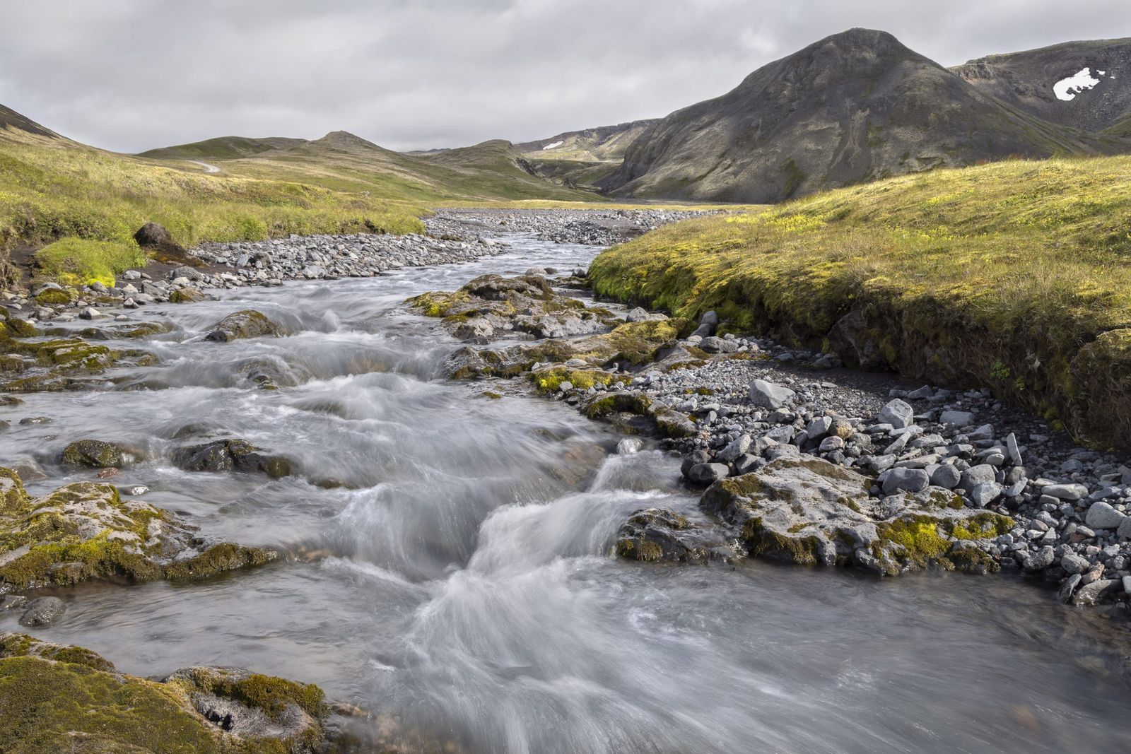
I spent the rest of the afternoon driving around the peninsula, stopping at the very busy tourist hotspots of Lóndrangar Cliffs and Djúpalónssandur black sand beach, without making any photographs. I then took a gravel road up towards the top of the Snæfellsjökull volcano and glacier. I turned around when I started to worry that the surface was a bit too challenging for the car and tyres I had rented, but not before enjoying a small, unoccupied picnic spot and making this image in the changing light.
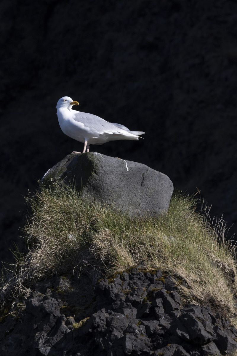
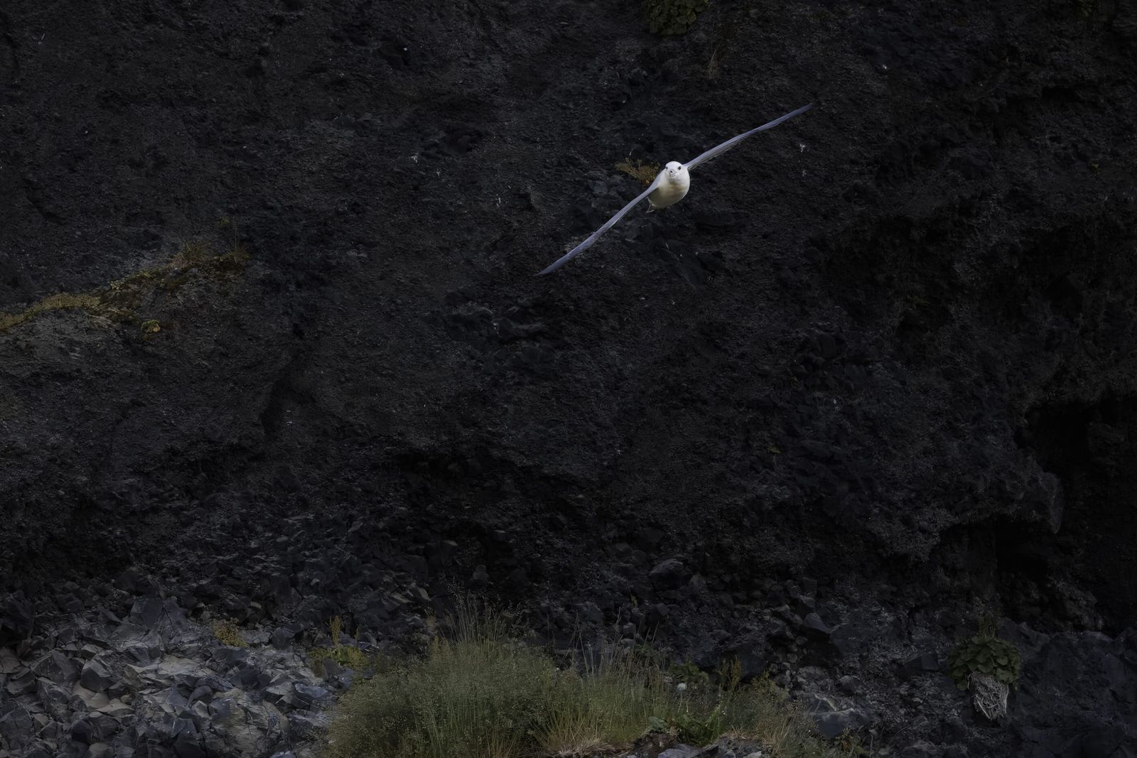
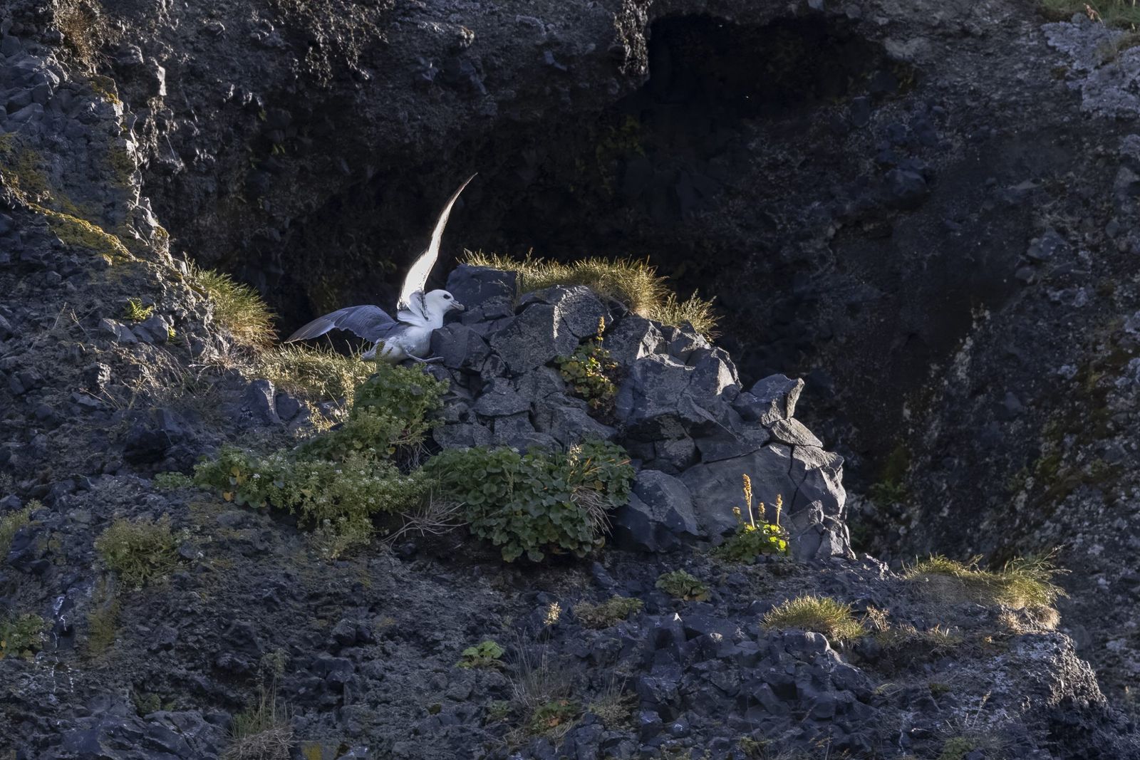
After rejoining the main road, I drove through a few villages, including Rif, and it’s flocks of terns and other seabirds - the only time I have ever seen road signs warning of their presence, both in the air and on the road surface. Entering Ólafsvík, I noticed that the road was bordered by some small cliffs with many small waterfalls. As it was getting late and I had a three hour drive ahead of me, I decided to continue without stopping to take photographs, but noted the location. From there I headed back to Keflavik by the shortest route.
As the eruption site remained closed on the Sunday, with no update promised until Monday, I decided to head back to Snæfellsnes because I’d now got the lie of the land and felt there were some locations that offered good photographic potential. There was also the draw of those fish & chips!
Rather than go there and back in one day, I booked a hotel in Arnarstapi with a plan to head back to Keflavik as soon as the eruption site re-opened.
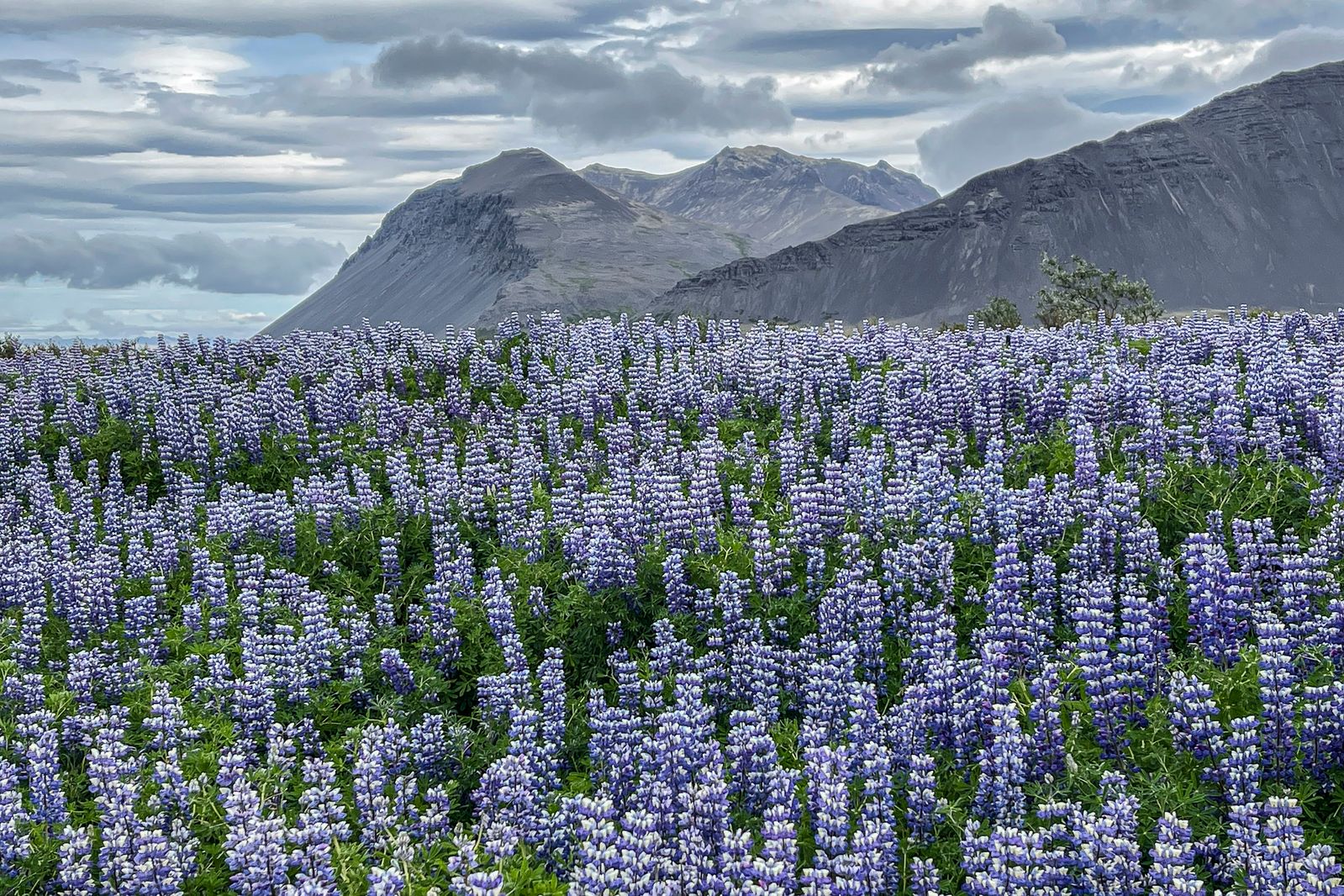
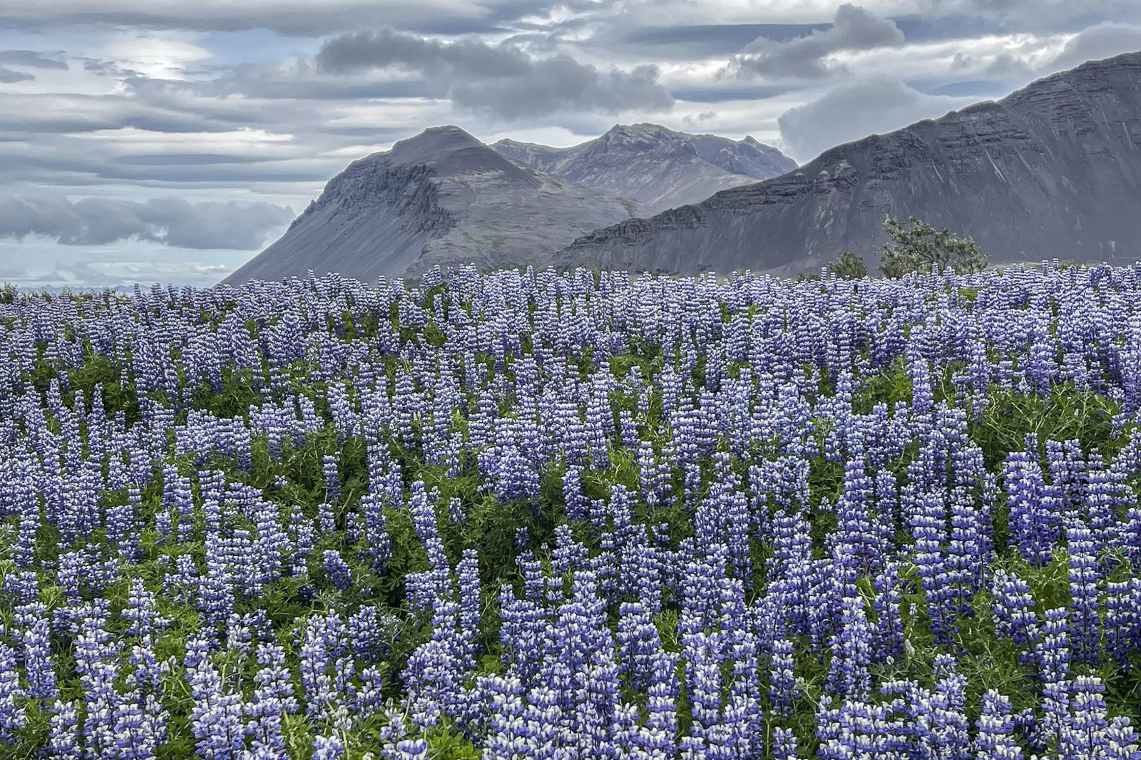
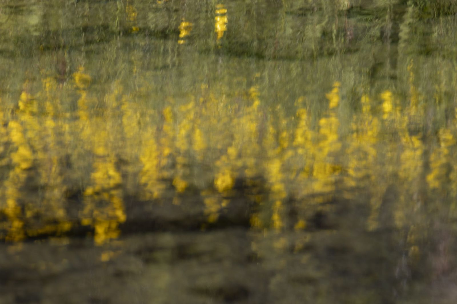
Having passed through Borgarnes, I remembered that I would soon be approaching the vast spreads of wild lupines that I’d seen the day before, but had not been able to find anywhere to stop. This time, I slowed down as soon as I saw the beautiful colours and was able to pull over onto a small gravel road to stop and make some images.
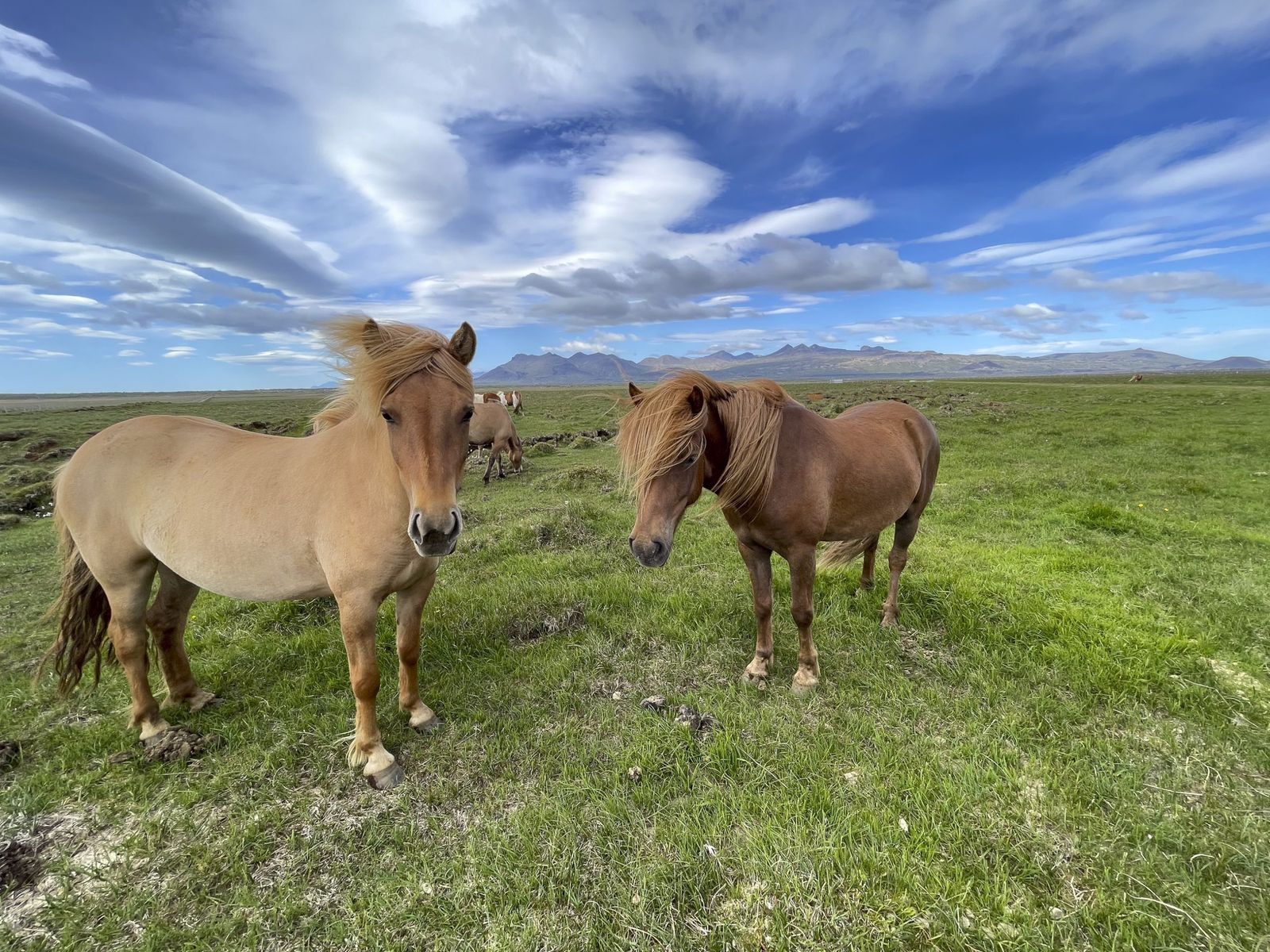
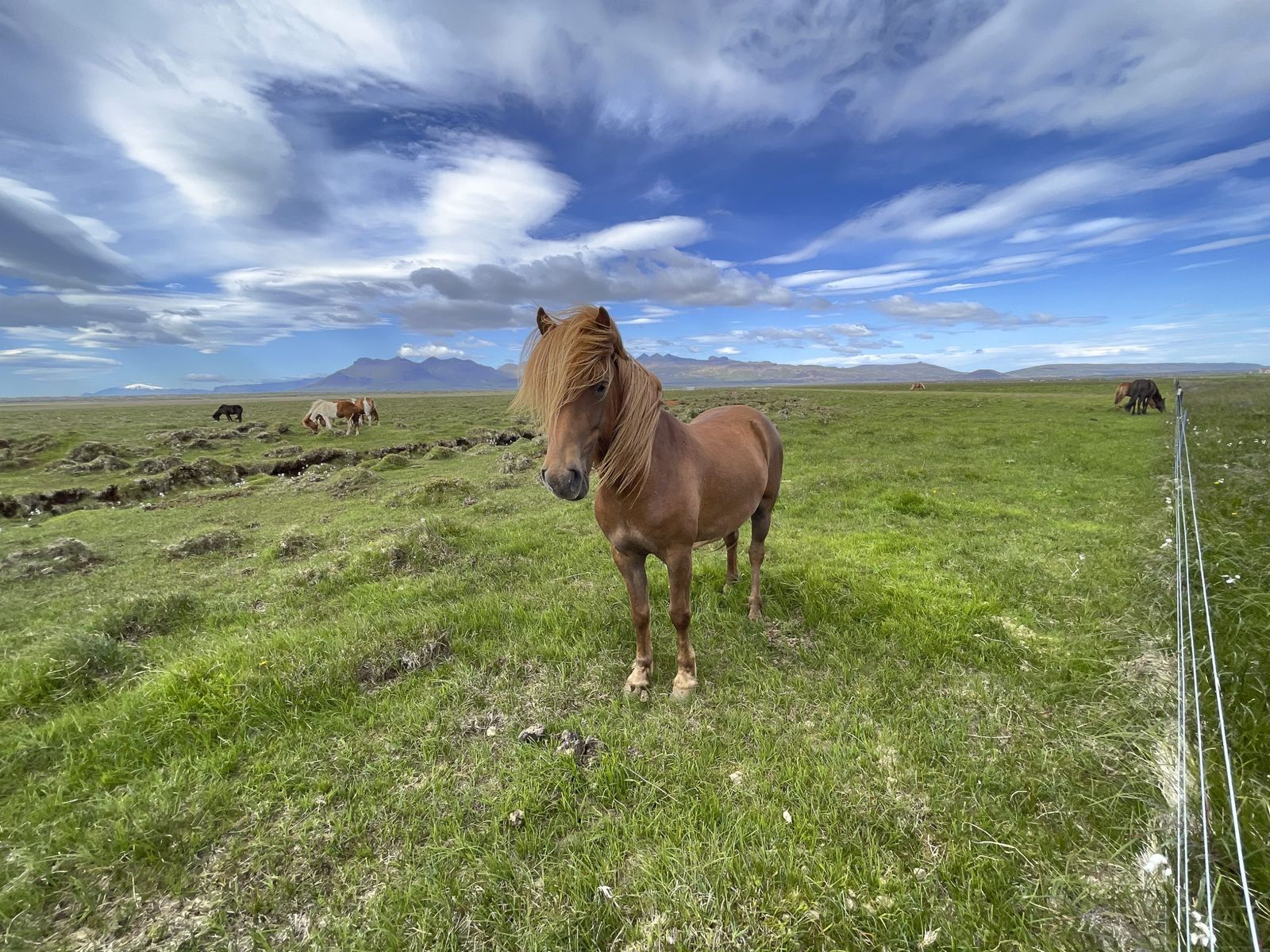
A little further along, there was a herd of Icelandic horses near the road, and I was again able to pull over close by.
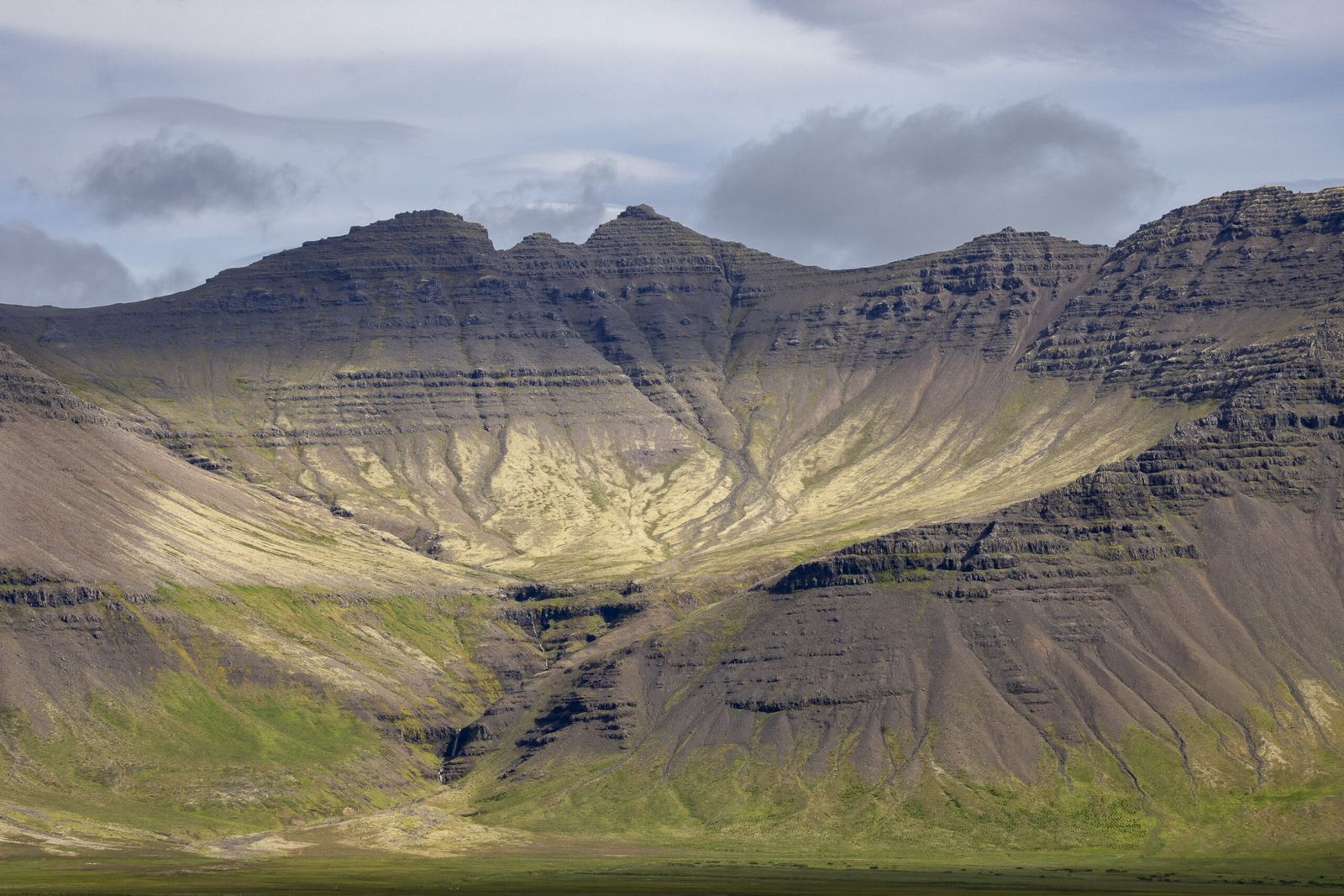
As I continued along Route 54, the weather was much brighter, which meant that the views from the road were almost unrecognisable from the day before. I managed to pick out a couple of locations where I’d stopped on Saturday but many of the views that were previously so captivating, looked somewhat nondescript - a reminder the roles of light and time in photography. I did though stop a couple of times to make some images of views that caught my eye.
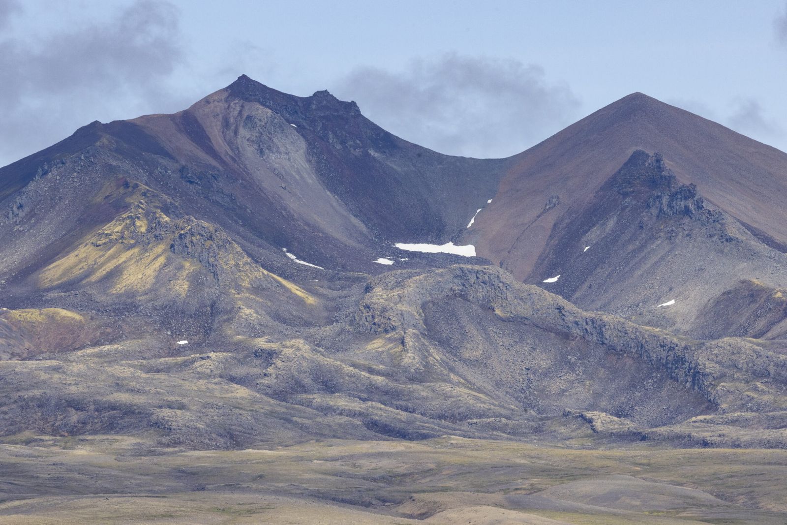
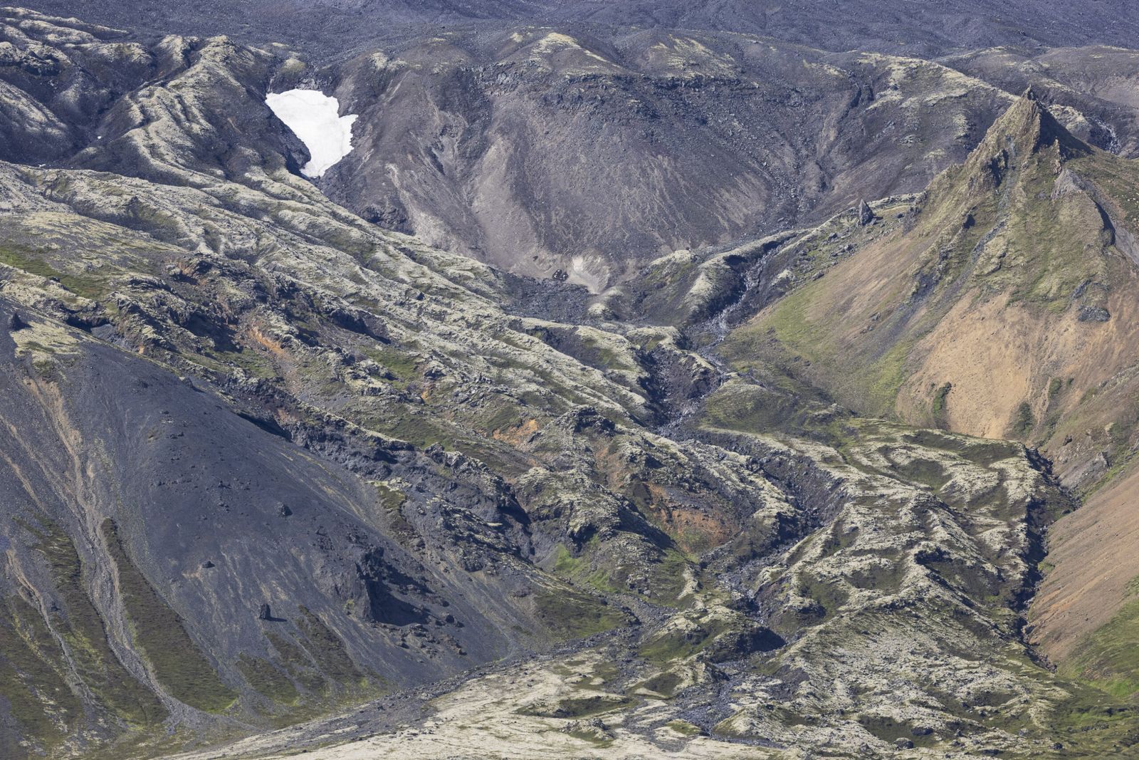
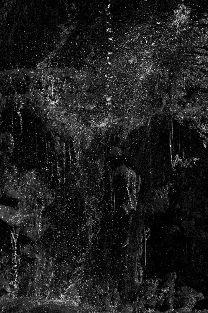
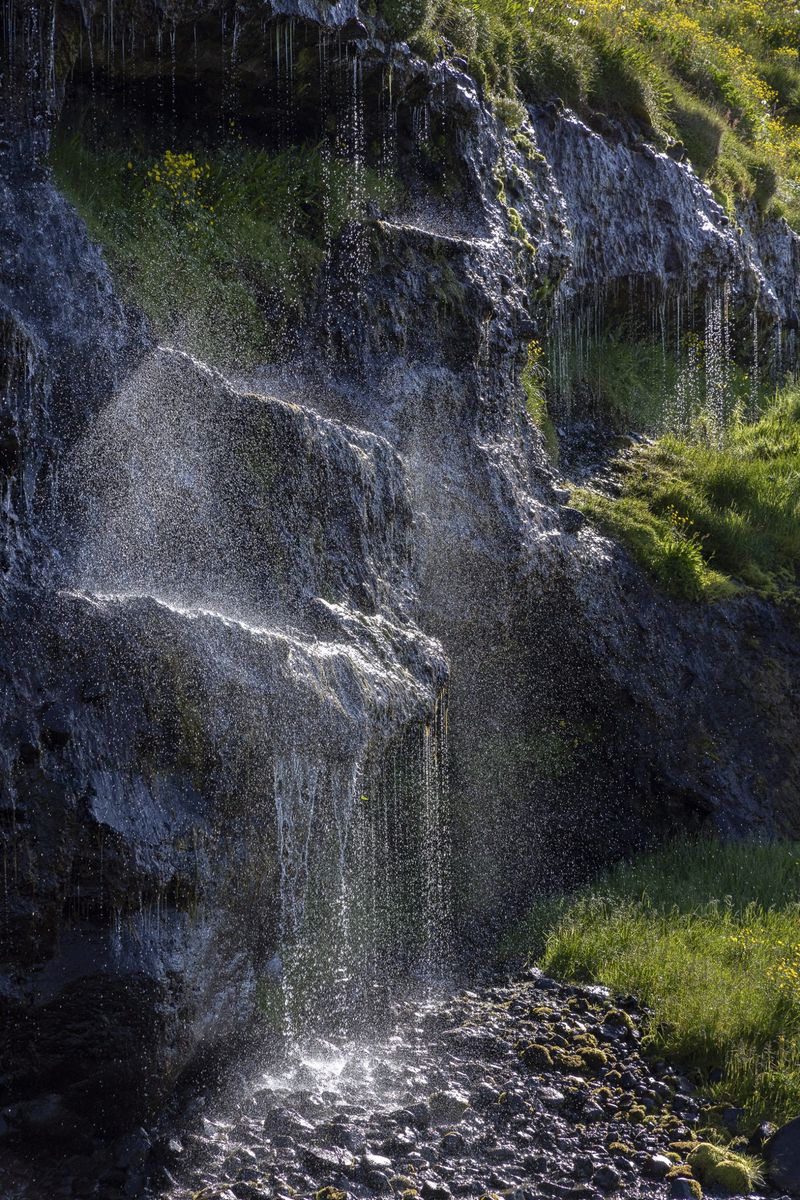
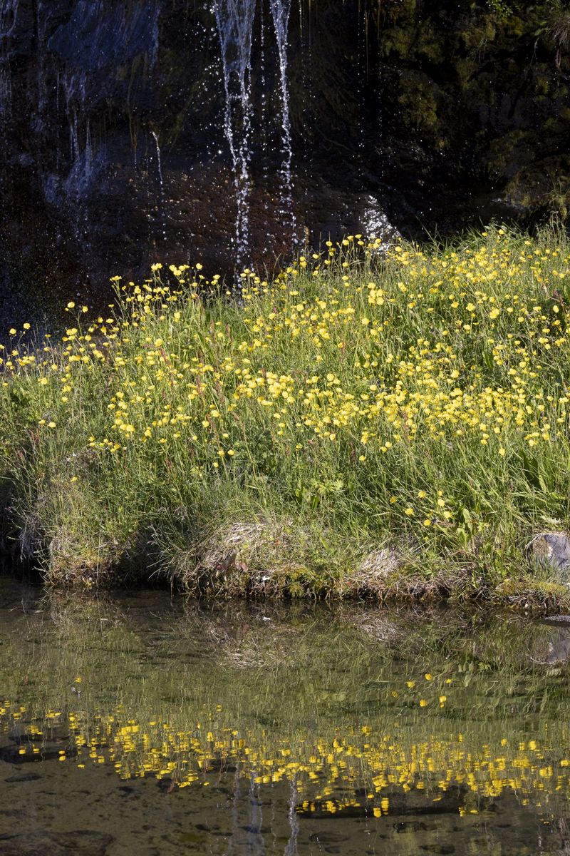
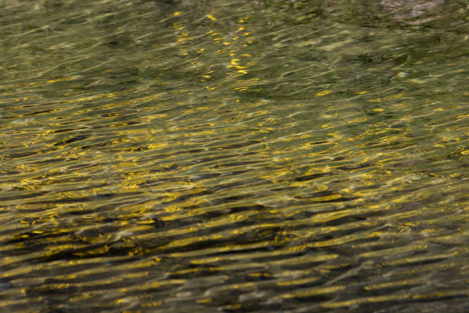
Because I had waited until after the 10am to leave Keflavik, it was mid-afternoon before I arrived in Arnarstapi. After another very nice lunch, I decided to slowly make my way around to Ólafsvík to photograph the scenery I had noticed the day before. I spent an enjoyable few hours photographing the waterfalls, the small river into which they fell and the circling seabirds.
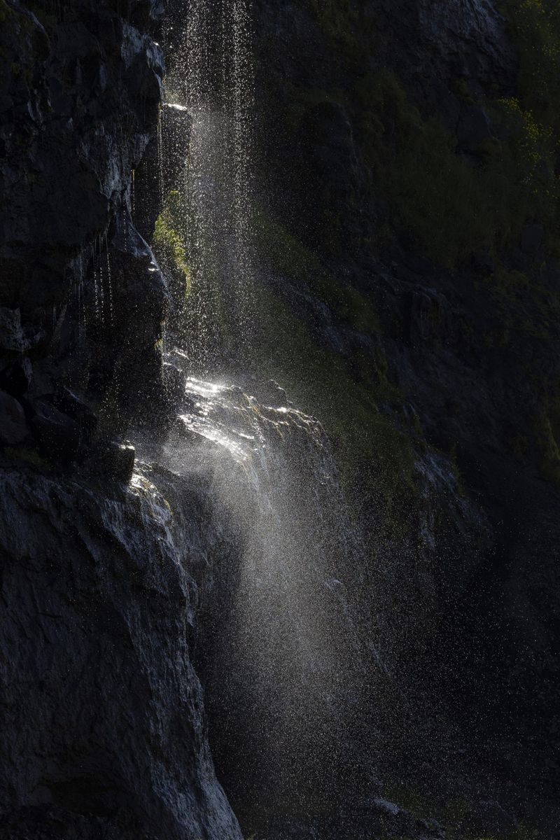
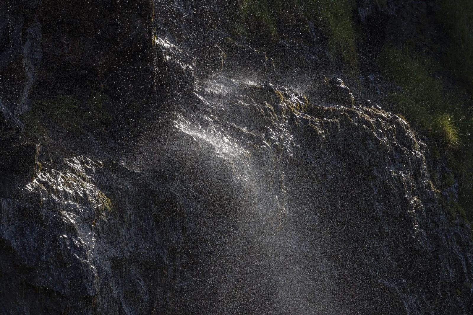
From Olafsvik, I drove round to the very popular waterfall under Kirkjufell - a mountain that is heavily photographed, especially in winter, as a foreground to Aurora displays.The waterfall itself is, to my eye, not that special and the number of people around, even quite late in the day, made it not so very attractive to me. I snapped a quick photograph with my iPhone and moved on. Much to my surprise, when I looked at the photo on my laptop, what I originally took to be discolouration from a dirty lense, turned out to be an Aurora display.
I of course know that the Aurora are there all year, and mostly visible only in the winter because of the dark skies, but I was nonetheless surprised to see it in my photo, as it was totally invisible to my eyes.
On the drive back to the Arnastapi, I stopped to snap more pictures of Icelandic horses and got back to the hotel just in time for a beer and a snack, before heading to bed.
I got up early on Monday morning to visit the cliffs at Arnastapi and theSaxhóll crater, before the crowds arrived. The light was too harsh to make any meaningful images of the cliffs but I flew the drone at Saxhóll where I was happy to be on my own.
From there I continued around the peninsula to visit Skarðsvík beach, and the Svörtuloft and Öndverdarnes lighthouses. I spent a very nice hour or so, again mostly alone, enjoying the area. I was particularly taken by the Fálki Well and the narrative describing it.
I also enjoyed the Svörtuloft lighthouse and the surrounding cliffs. One of the tourist signs caught my attention as it reminded me very vividly of my recent visit to St Kilda and the bird hunting that was so important to life on that island.
From there, having seen that there would be a further update on the eruption site at 2pm, I drove back to Arnastapi for another meal at my favourite food spot, before driving in the direction of Borgarnes from where I could either turn right towards Keflavik, or left to Kolugljúfur Canyon, another place I would like to see.
I had timed my journey to arrive in Borgarnes at 2pm but, after about half way into the journey, I came across a queue of traffic.
It turned out that a nasty accident had happened about an hour earlier and, after waiting for about 30 minutes, with emergency vehicles still arriving, I decided to turn round and take an alternative route that added about 80km to the journey but which would, hopefully, provide more certainty as to my arrival time in Keflavik. With much of the journey being on gravel roads, it was an interesting detour but when I eventually passed through Borgarnes there was no traffic coming down Route 54, so I think I made the right decision. The remainder of the journey to Keflavik was uneventful and the story continues with my first visit to the eruption site.